Leading sustainability consulting firm Quantis launches geoFootprint, the first tool to use satellite imagery to visualize the environmental impact of crops on an interactive world map for smarter, science-driven decision making on sustainability. A multi-stakeholder initiative, geoFootprint was built collaboratively with more than 25 public, private and academic partners aiming to accelerate sustainable agriculture through innovation. With its global overview of crop footprints, geoFootprint closes the gap between the action needed to make agriculture more sustainable, and the knowledge required to pursue it.
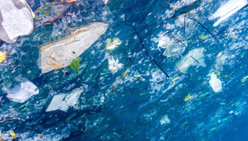
Agriculture is a significant contributor to climate change, responsible for more than 20% of global greenhouse gas emissions. To tackle the environmental crisis, companies need a clear picture of the impact of their sourcing decisions. Globalized supply chains make this a complex challenge: Crops are traded globally, but their footprints are calculated locally. How and where a crop is grown changes the size of its environmental footprint.
geoFootprint opens up a new information channel, bringing visibility of on-the-farm and upstream impacts (from deforestation, fertilizer use, irrigation, land management and other factors) directly to strategic-level decision makers. Drawing on the best sources of publicly available data and displaying it on an interactive, high-resolution world map, geoFootprint fills a critical knowledge gap for companies and stakeholders across the supply chain. Questions about the environmental impacts of crops that were nearly impossible to answer can now be resolved in a matter of minutes. Users can easily understand a crop’s geography-specific footprint, identify what contributes to it and run simulations to see which interventions would have the most positive environmental impact on their supply chain.
In addition to delivering insights to inform sustainability decisions, geoFootprint enables users to assess the risks posed by changes in climate, water availability and quality, soil health, and biodiversity to secure supply chains and the future of food.
Xavier Bengoa, the geoFootprint project lead and a senior sustainability consultant at Quantis said:
“While agriculture is one of the largest contributors to the climate and biodiversity crisis, it also represents one of the most high-potential solutions. geoFootprint enables companies to reduce the environmental footprint of crops in their supply chains through providing insights that – until now – have been nearly impossible to capture. It fills a giant knowledge gap that will allow us to accelerate the sustainable transformation of agriculture.”
Laura Overton, Sustainability Accounting Senior Manager, Mars Incorporated and geoFootprint partner stated:
“geoFootprint promises to fulfill a valuable need for companies to better understand and ultimately to reduce their carbon footprints. The potential of the tool lies in combining spatially-detailed agricultural impacts with location-specific sourcing data.”